- The beginning of the path: Shymbulak
- Total time: 3-4 hour
- Length to the glacier: 7,1km
- Total length: 14km
- Overall rise: 1356 m
- Category: middle trekking
- The highest point: 3690 m
- Coordinates: GPS Coordinates: 43.10161, 77.110977
- Season: all year round
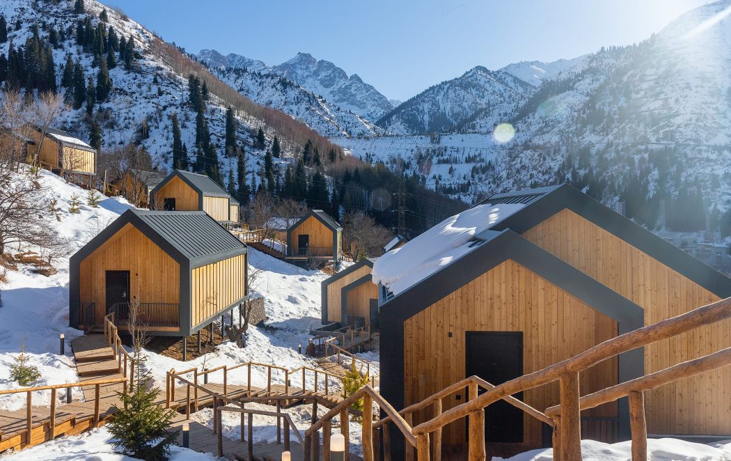
From the Shymbulak SR, you can climb by cable car, which will reduce the trekking time and will be able to go further south from the Talgarsky Pass towards the Bogdanovich Glacier.
Talgar pass is known by route №123.
GPS coordinates of Talgar pass 43.114831, 77.112179


