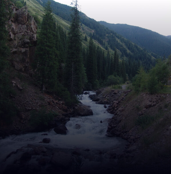
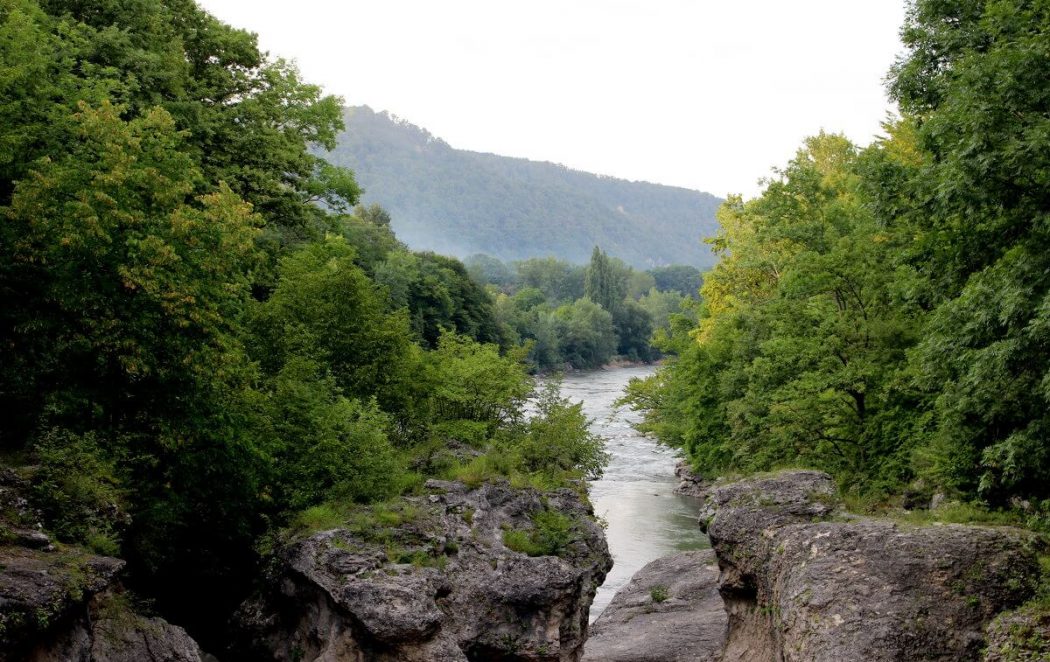
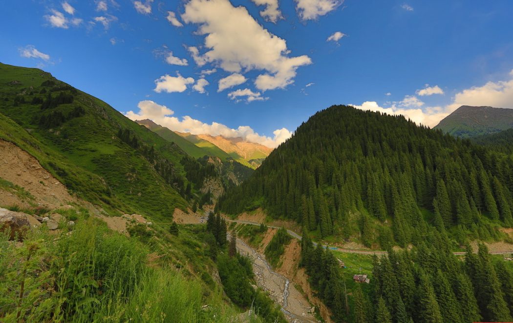
- The beginning of the path: Medeu
- Total time: 13-14 hours
- The total length of 18 km
- Climb gaining: 1,316 m
- Category: complicated trekking
- The highest point: Butakovsky Pass (2,910 m)
- Season: June – October
- GPS coordinates 43.162055, 77.135954
Its beginning coincides with the routes №102, №103, to the place where the pathway splits: left goes on the ridge to the hut «Kimasar», and it is necessary to continue on the path, that runs along the Kimasar river up the gorge. After 25-30 minutes, the pathway turns to the east and it’s on the rise. Having risen on the crest, it is goes in a south-easterly direction along the Sarysay ridge in the south, the Furmanov peak, the peak of Labor Reserves.
- The beginning of the path: Medeo
- Total time: 6,5-7 hours
- Length: 14,5 km
- Climb gaining: 1668 m
- Category: average trekking The highest point: 3150 m
- Season: year-round
- Coordinates: 43.1669° N, 77.1344° E
To the Lesnoy Pass, follow route №107. Then you need to continue your way from the saddle to the south. A well-visible pathway in 1.5-2 hours will lead you to the Bukreev Peak (Pionerskaya, 3150 m). You can return on the way of rise in two options: on Medeo or through camp site «Almatau» or the village of Kotyrbulak.

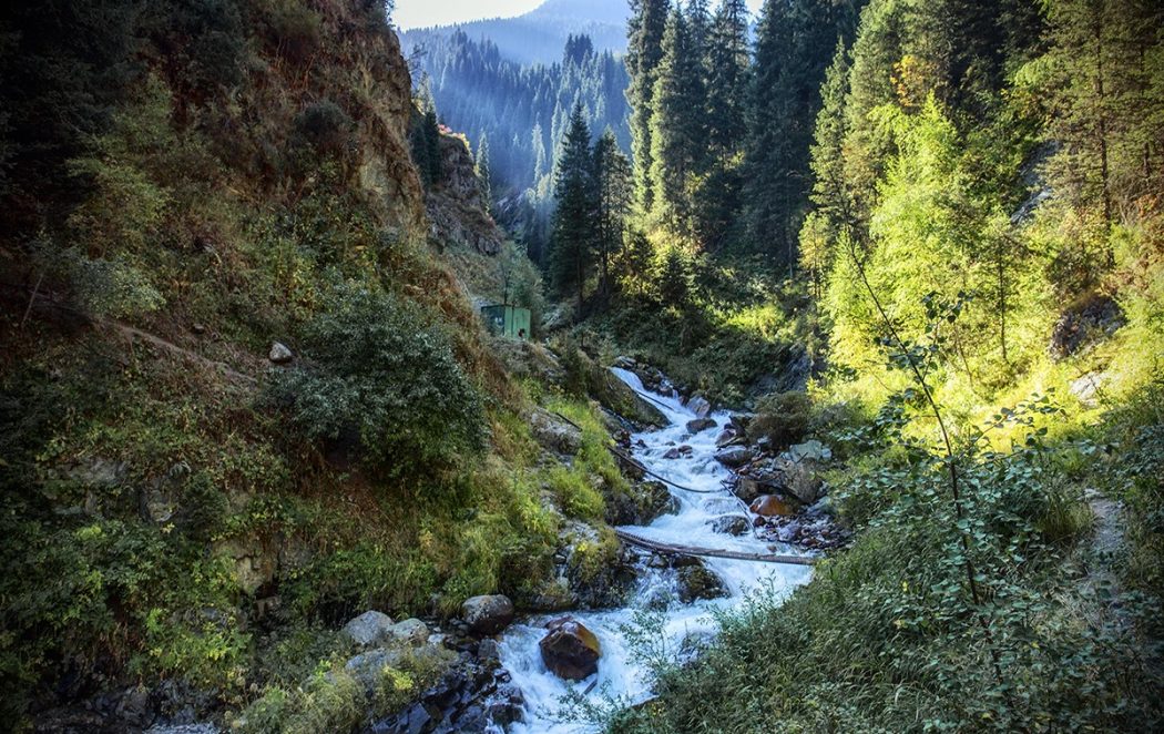
- Start: Gorelnik Gorge
- Time: 2 days
- Length: 18.74 km
- Category: complex tracking
- Highest point: 3160 m
- Season: only in summer (avalanche zone)
- Coordinates of Trapeze Pass: 43.105902, 77.035317
In terms of distance and time, it will take two days, but it is better to start the trip on Friday evening, in order to spend it with two overnight stays.
- Start: Gorelnik base
- Time: 2 days
- Length: 24 km
- Category: complex tracking
- Highest point: 3500 m
- Coordinates of Titov Pass: 43.078167, 77.058449
- Season: all year round
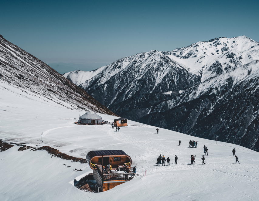
- The beginning of the path: Shymbulak
- Total time: 2-2,5 hour
- Length to the top: 4.42km
- Total length: 8km
- Category: easy trekking
- The highest point: Shymbulak top (Chymbulachka) – 3540m
- Overall rise: 1 146m
- Coordinates of the Chymbulachka top: 43.124041, 77.115827
- Season: all year round
- GPS Coordinates of the “Talgar Pass” 43.114831, 77.112179
Scree, non – categorical pass, mastered by the ski resort of Shymbulak, there is developed cable car infrastructure, restaurants, toilets and places of rest. It is located in the Azutau spur, a branch of the Malo(little)-Almaty spur, southwest of the peak of Shymbulak. Connects the Malo(little)-Almaty gorge with the Sauruksai Gorge, the basin of the Left Talgar gorge.
- The beginning of the path: Shymbulak
- Total time: 3-4 hour
- Length to the glacier: 7,1km
- Total length: 14km
- Overall rise: 1356 m
- Category: middle trekking
- The highest point: 3690 m
- Coordinates: GPS Coordinates: 43.10161, 77.110977
- Season: all year round
From the Shymbulak SR, you can climb by cable car, which will reduce the trekking time and will be able to go further south from the Talgarsky Pass towards the Bogdanovich Glacier.
Talgar pass is known by route №123.
GPS coordinates of Talgar pass 43.114831, 77.112179

- Start: Tuyuksu Alpine Camp
- Total time: 5-6 hours
- Length to T1: 7.62km
- Total length: 15km
- Category: medium tracking
- Highest point: 3650m
- Total climb: 1,060m Coordinates: 43.06806, 77.07921
The total time will take 5-6 hours of walking on a good dirt road.
The descent along the ascent path is approximately. The total length of the route will be 15 km.

- Start: Tuyuksu Mountaineering Camp
- Total time: 5-6 hours
- Length: 7.62 km
- Category: medium tracking
- Highest point: 3660m
- Total climb: 1207m
- Coordinates of Lake Manshuk Mametova: 43.07832, 77.10107
- Season: all year round
The total time of this route will be 5-6 hours.
You need get on the route early.
- Start: Tuyuksu Alpine Camp
- Total time: 6-8 hours
- Length: 16.86 km
- Category: medium tracking
- Highest point: 3460m
- Total climb: 1292m
- Coordinates of Titov Pass: 43.078167, 77.058449
- Season: all year round