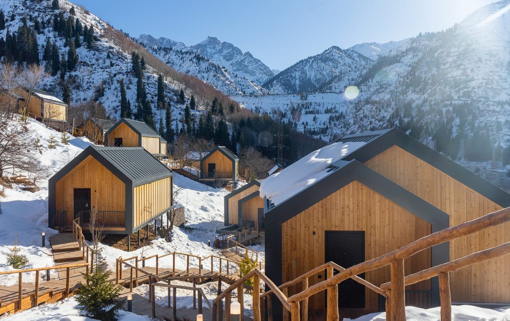
- The beginning of the path: Shymbulak
- Total time: 2-2,5 hour
- Length to the top: 4.42km
- Total length: 8km
- Category: easy trekking
- The highest point: Shymbulak top (Chymbulachka) – 3540m
- Overall rise: 1 146m
- Coordinates of the Chymbulachka top: 43.124041, 77.115827
- Season: all year round
- GPS Coordinates of the “Talgar Pass” 43.114831, 77.112179
Scree, non – categorical pass, mastered by the ski resort of Shymbulak, there is developed cable car infrastructure, restaurants, toilets and places of rest. It is located in the Azutau spur, a branch of the Malo(little)-Almaty spur, southwest of the peak of Shymbulak. Connects the Malo(little)-Almaty gorge with the Sauruksai Gorge, the basin of the Left Talgar gorge.


